Download free APK/XAPK files from Google Play Store without a login account.
Install Now

Mapillary is the street-level imagery platform that scales and automates mapping using collaboration, cameras, and computer vision.
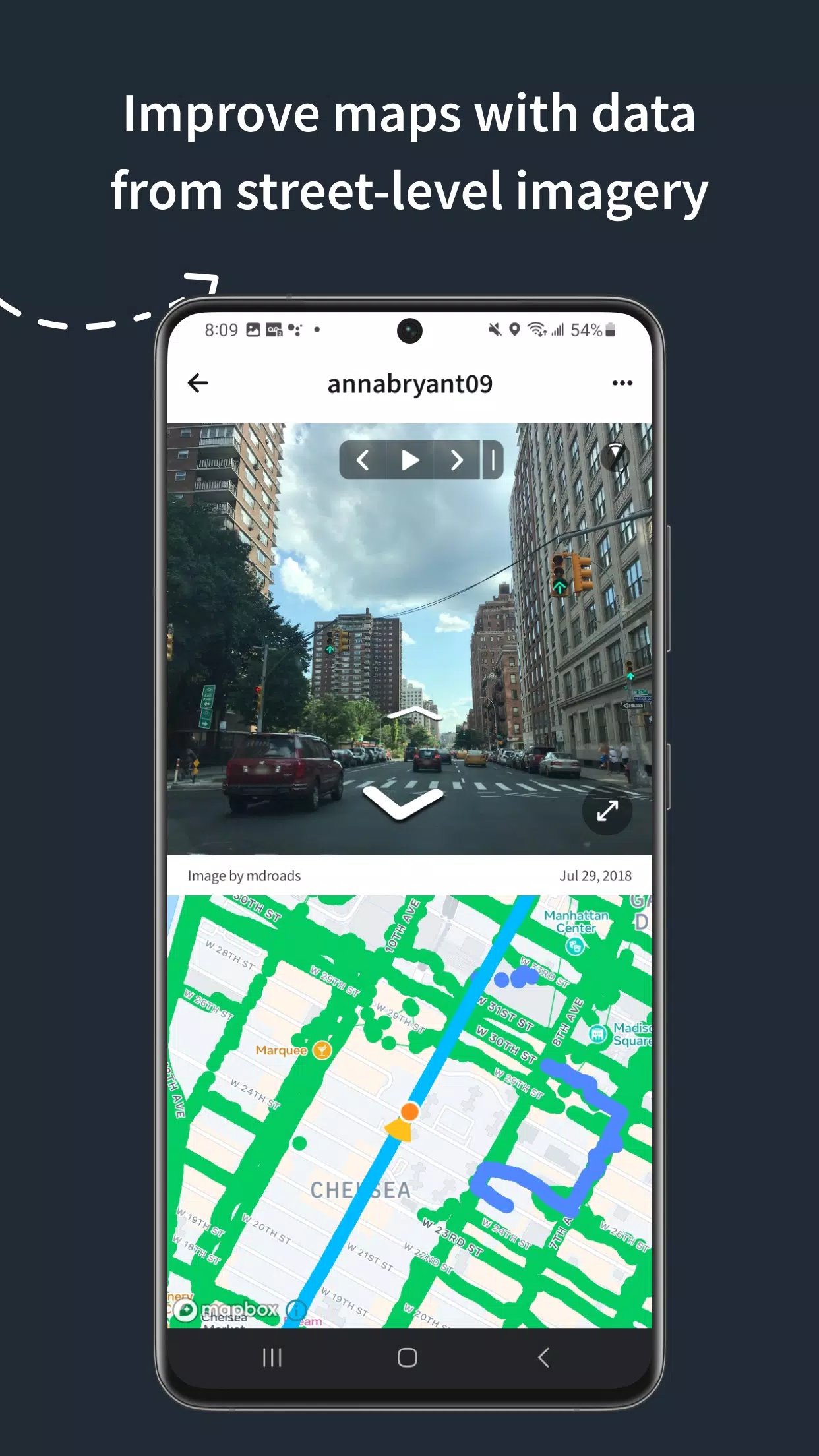
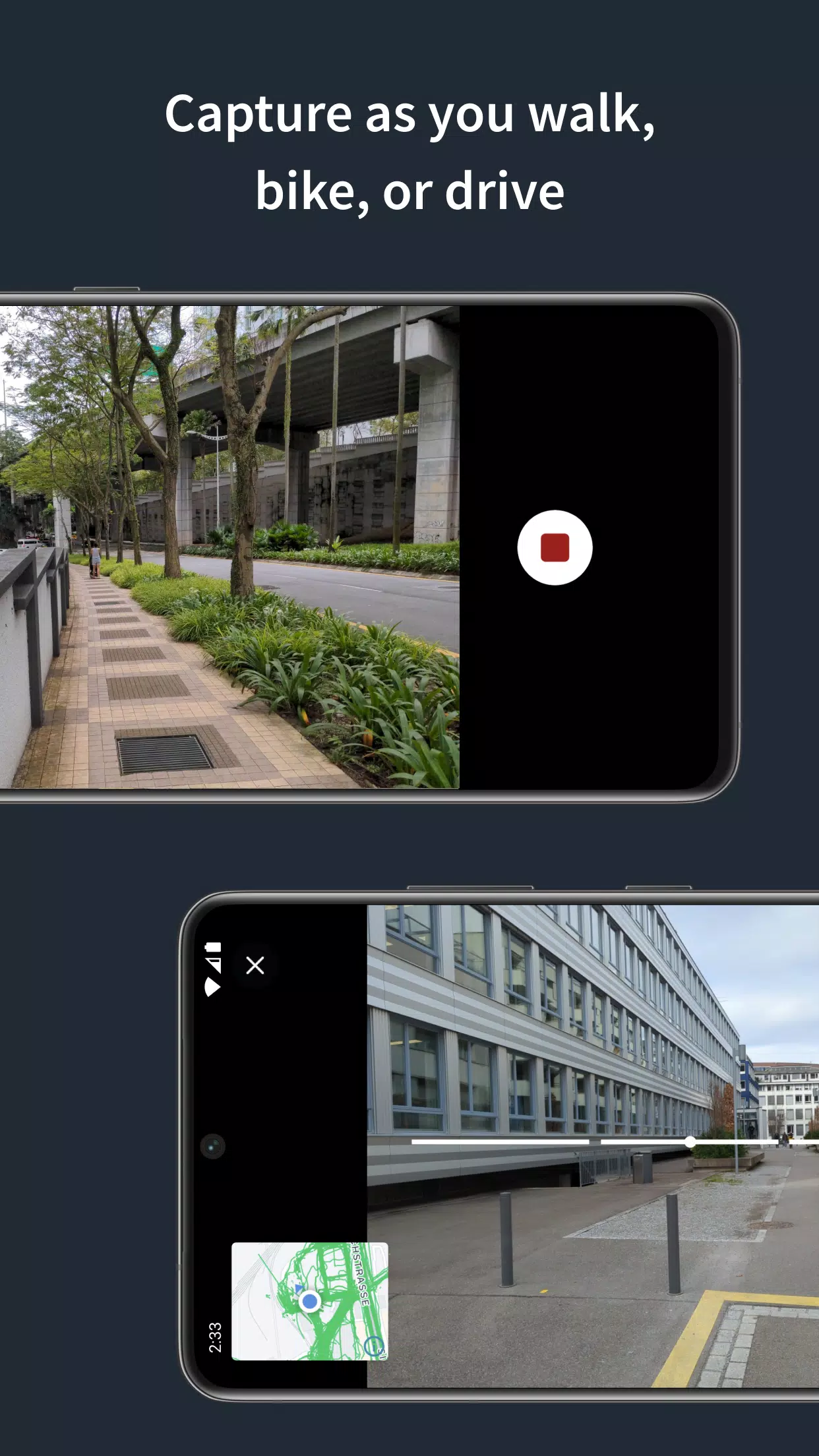
Anyone can capture images of any place, as often as needed, with any camera—including smartphones. Mapillary combines all images into a collaborative street-level view of the world that’s available for anyone to explore and use for improving maps, cities, and mobility. Computer vision technology provides a smooth viewing experience and speeds up mapping through machine-extracted map data.
Capturing with the Mapillary mobile app is the easiest way to join our contributor network. Let’s get started!
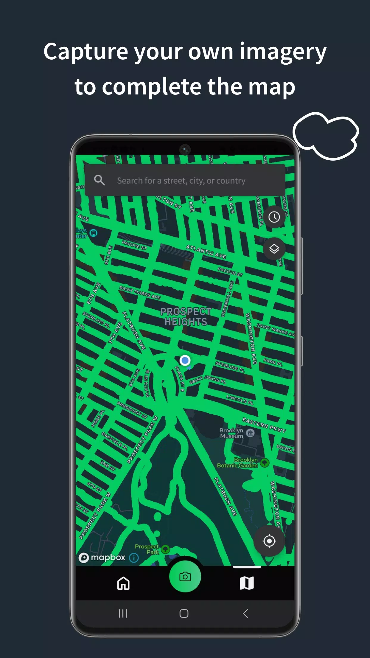
CREATE YOUR OWN STREET-LEVEL VIEWS
You control when and where to capture to create the freshest street-level imagery. Mapillary’s technology combines all images into a navigable view and blurs faces and license plates for privacy.
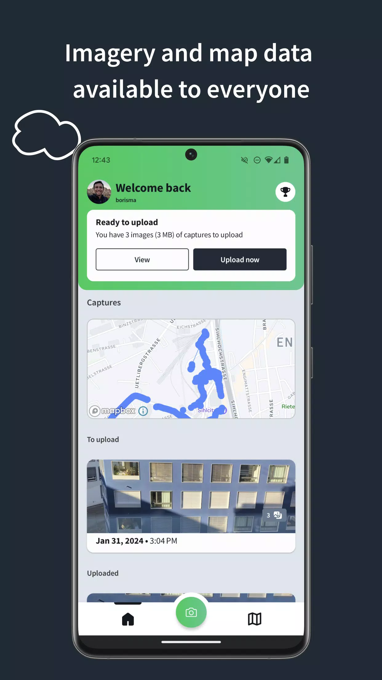
ACCESS AND OPEN UP DATA
Mapillary contributors are people, organizations, companies, and governments in 190 countries. Millions of images are added to the dataset every week, which you can explore right here in the mobile app.
MAKE BETTER MAPS
Use imagery and machine-extracted data to add details to maps and geospatial datasets. Mapillary integrates with tools like OpenStreetMap iD editor and JOSM, HERE Map Creator, and ArcGIS. To access the available map data, go to mapillary.com/app.
Latest Version
2026.08.14-6.14.2Uploaded by
Chenning Deadrip
Requires Android
Android 7.0+
Category
Free Maps & Navigation AppContent Rating
Everyone
Report
Flag as inappropriateLast updated on Aug 28, 2026
- Updated minimum Android version to 16
- Fixed bug where the location permission was being asked erroneously on map explore screen
- Fixed bug where automatic uploads would not resume when a WiFi connection was restored

APKPure - A multi-platform app store primarily focused on Android, providing extensive app-related content. Discover the app you want easier, faster, and safer, with quick and efficient downloads and installations.